


Warm and Pleasant Easter Weekend, Unsettled Week Ahead

FORECAST:
Friday (High 81, Low 54): Mostly sunny. Warm and breezy.
Saturday (High 83, Low 58): Partly to mostly sunny. Warm and breezy.
Easter Sunday (High 82, Low 60): Partly cloudy. Warm and breezy.
EXTENDED OUTLOOK:
Monday (High 80, Low 62): Mostly cloudy with a 50% chance of showers/thunderstorms.
Tuesday (High 78, Low 59): Partly cloudy with a 40% chance of showers/thunderstorms.
Wednesday (High 81, Low 57): Partly cloudy with a 20% chance of showers/thunderstorms.
Thursday (High 80, Low 59): Partly cloudy with a 30% chance of showers/thunderstorms.
PRONÓSTICO:
Viernes (Máxima: 81, Mínima: 54): Mayormente soleado. Cálido y ventilado.
Sábado (Máxima: 83, Mínima: 58): Parcialmente soleado. Cálido y ventilado.
Domingo de Pascua (Máxima: 82, Mínima: 60): Parcialmente nublado. Cálido y ventilado.
PERSPECTIVA EXTENDIDA:
Lunes (Máxima: 80, Mínima: 62): Mayormente nublado con un 50 % de probabilidad de lluvias/tormentas eléctricas.
Martes (Máxima: 78, Mínima: 59): Parcialmente nublado con un 40 % de probabilidad de lluvias/tormentas eléctricas.
Miércoles (Máxima: 81, Mínima: 57): Parcialmente nublado con un 20 % de probabilidad de lluvias/tormentas eléctricas.
Jueves (Máxima: 80, Mínima: 59): Parcialmente nublado con un 30 % de probabilidad de lluvias/tormentas eléctricas.
NOTES:
There is one more SKYWARN class this season, Tuesday April 22 5 PM at the AIDB Shoals Regional Center. This class is geared toward people who are deaf or hard-of-hearing.
We recently had the anniversary of the forgotten tornado outbreak of April 15, 2011, which mainly affected Central and South Alabama. It sort of got overshadowed by the even worse outbreak that hit more in North and Central Alabama on the 27th of that same month, not even two weeks later. But I remember this thing, and it was a stout tornado outbreak in its own right. I remember on the weather blog I had then, I was disappointed that it didn’t do anything in North Alabama, felt like I’d given my readers an overhyped forecast that just totally busted.
DISCUSSION:
It was a mostly sunny day with periods of clouds and breeziness in the Tennessee Valley. The High in Cullman was 79, and the Low was 46. Jasper saw a good bit of haze this afternoon, High of 82 there, morning Low of 43. So in case you hadn’t noticed, our air is really dry here lately, making for these sharp temperature contrasts throughout the day, lets it cool off a lot at night - “radiational cooling”. Haleyville saw a High of 79 and Low of 45. Our breeze was generally out of the South today too, which blows the flies in the fishes’ mouth. Good bit of haze at times up in Fort Payne today too, High of 78, Low of 38. Decatur had a High of 81 and Low of 47. Huntsville saw a High of 80 and Low of 51. Muscle Shoals saw a High of 82 and a Low of 50. Tupelo saw a High of 80 and Low of 48. Memphis had a High of 81 and a Low of 58 today, more humidity up that way. And Nashville saw a High of 78 and a Low of 48.
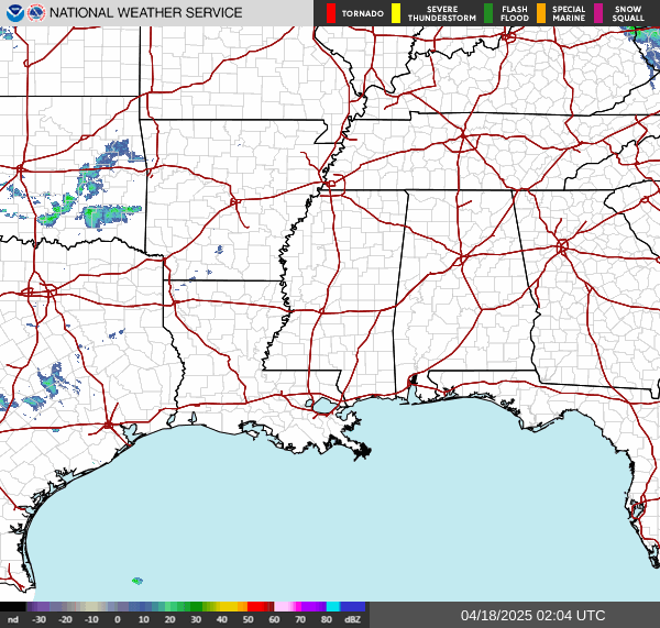
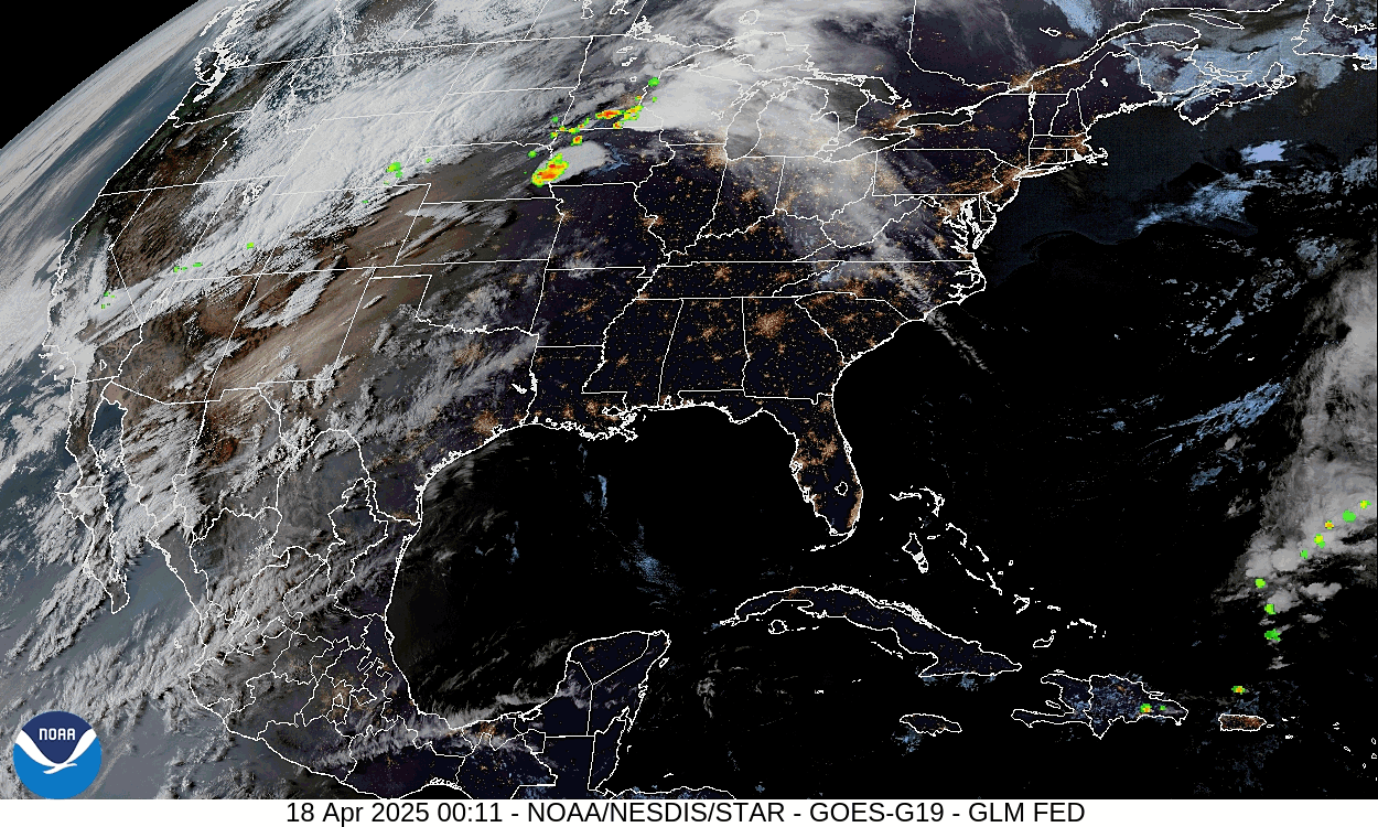
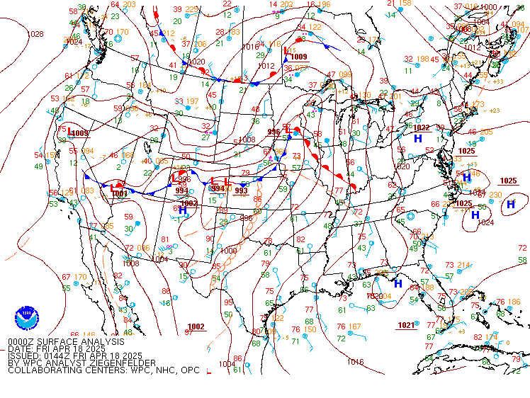
We’ve got ridging of high pressure here in the Eastern United States right now. A low pressure system and a front are bringing rain and storms to the Midwest, mainly in Iowa tonight. We’ve gotten some of the clouds from that weather pattern nearby today but are not going to see any rain from it, at least not for several days.
Keep reading with a 7-day free trial
Subscribe to That Weather Blog to keep reading this post and get 7 days of free access to the full post archives.